

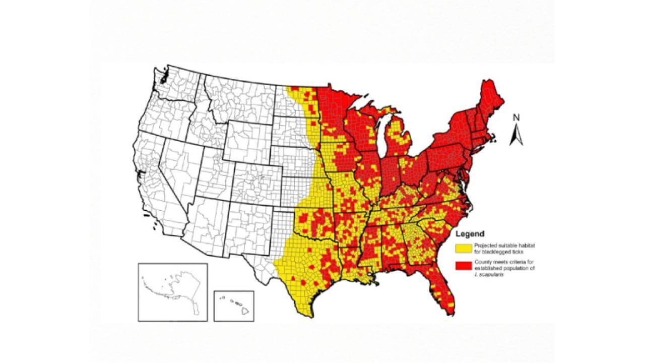
Map of the United States showing counties with projected suitable habitat for blacklegged ticks in yellow and counties meeting criteria for established tick populations in red.

Independent Research
Independent Research
Safia Benbrahim, ’28 completed this project through independent research.
This project leverages dynamic GIS mapping to visualize, track, and analyze the geographic distribution of laboratory-confirmed positive pathogen cases by translating point-source detection data into a visual map.

Biology
College of Arts & Sciences
New England has seen a major rise in tick-borne pathogens and expanding tick populations in recent years. This project was created to turn complex surveillance numbers into simple visual maps that highlight high-risk areas.
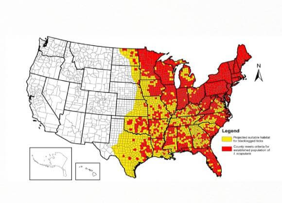
Map of the United States showing counties with projected suitable habitat for blacklegged ticks in yellow and counties meeting criteria for established tick populations in red.
This serves as an overview of the project and does not include the complete work. To further discuss this project, please email Safia Benbrahim.
We've sorted each of our undergraduate, graduate and doctoral programs into unique Areas of Interest. Explore these categories to discover which programs and delivery methods best align with your educational and career goals.